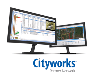
WinCan’s integration with Cityworks asset management platform gives you the flexibility to streamline your workflow and ensures you always have industry-leading tools at your fingertips. But with over 10 years of history, our partnership with Cityworks runs deeper than our integration.
Comprehensive knowledge of each other’s development and deployment practices allows WinCan and Cityworks to work together to create a dynamic customer experience that can satisfy any workflow.
Building a Better Workflow Together
Commonly referred to as the leading GIS-centric asset management solution in the utilities and local government markets, Cityworks combines wastewater business logic with the asset geodatabase to help streamline the management of public infrastructure and property. Where WinCan has led the way in flexible inspection solutions, Cityworks enhances those solutions with workflow management, resource scheduling and activity prioritization. Together, they give contractors and municipalities the power to coordinate and execute sewer infrastructure projects with more efficient inspections, organized and visualized data, cloud-based security and specialized customer support.
“The Cityworks and WinCan integration meets users where they already are,” said George Mastakas, vice president of enterprise solutions and corporate partnerships at Cityworks, a Trimble Company. “Whether you’re in the field completing a CCTV inspection or in the office prioritizing capital improvement projects, the integration provides a seamless process for sharing and viewing asset data within a familiar environment.”
Using Cityworks With WinCan VX
The workflow is simple. Create a work order in Cityworks with all of the assets you’ll need to inspect. Then, import it into WinCan VX via the Data Exchange tab. As your work order imports, you’ll be able to see that GIS data is imported with it, giving you the capability to leverage the power of Esri’s ArcGIS Pro at any stage in your workflow. Once your work order data has populated in WinCan, you’ll be able to see all the section data you entered into Cityworks, from pipe material and shape to manhole number and drainage area.
Adding observations to your work order is easy, and WinCan’s flexible toolset helps your team quickly inspect and code to meet any standard. With GIS integration, you even have the power to visualize your inspection data on a satellite heat map via WinCan Maps or Esri’s ArcGIS platform, so you can compare your assets with your inspections.
Finally, a simple button tap allows WinCan users to quickly and easily export inspection data to Cityworks. You will have all of your observation data, inspection footage and images, and most importantly, NASSCO-certified CCTV codes with remarks accessible and in one place. From here, Cityworks provides crew supervisors and department managers with tools to monitor asset performance and service levels, evaluate risk, prioritize work activities, and justify budgets.
Not only is WinCan’s integration with Cityworks a boon to the flexibility of both platforms, but it makes everyone’s job a little easier. Working from cloud-based WinCan Web allows you to collaborate remotely with office staff while you’re out in the field, receiving and completing work orders before exporting deliverables that inform decision making. And Cityworks isn’t alone when it comes to WinCan integrations.
Learn more about WinCan's integration with Cityworks by scheduling a free demo:


