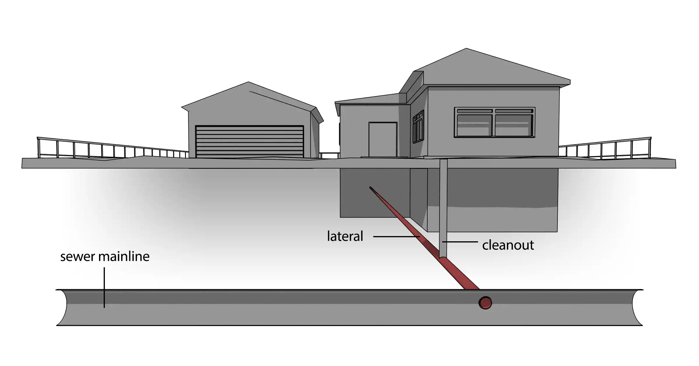
Most real estate agents will tell you laterals can cause problems for home and business owners, such as blockages, wear-and-tear and leaks. But they can also cause trouble for construction and rehab teams if they are left undocumented and unmapped, and they are often major sources of systemwide I&I. For this reason, some municipalities shoulder the burden of inspecting residential sewer laterals, while others leave it to residents to request lateral inspection.
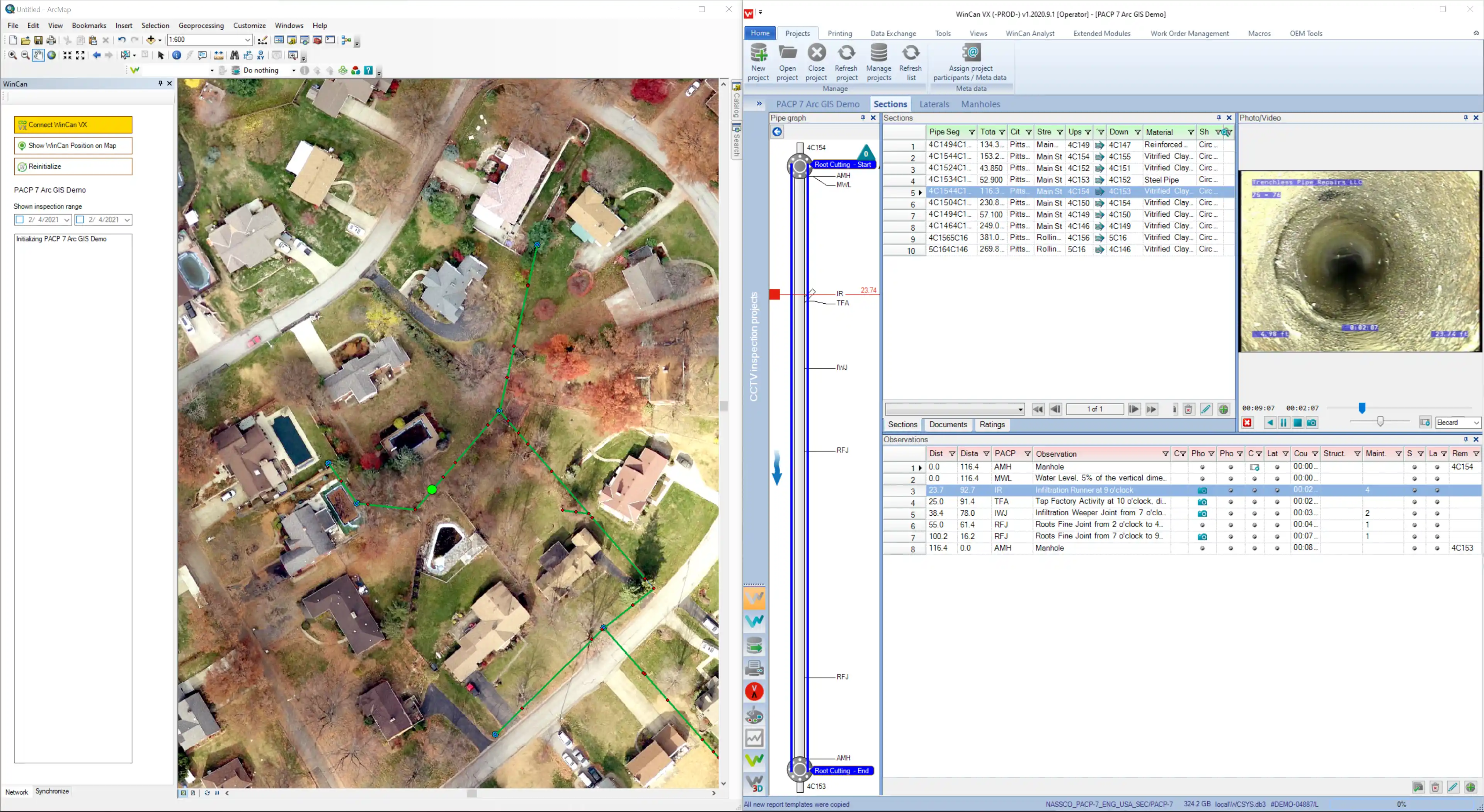
To be successful in these efforts, inspection teams need the right equipment and technology to traverse lateral lines and record inspection data about their location and condition. Without complete and accurate documentation, both property owners and rehab teams could be at risk. In the digital age, more municipalities are turning to Geographic Information System (GIS) mapping as a solution for easily accessible lateral information and historical data. And with an effective digital workflow to map out laterals, inspection teams can add wastewater laterals to their regional records, store lateral pipe data in a digital map, and ultimately make that map and data remotely available to engineers and city officials.


