
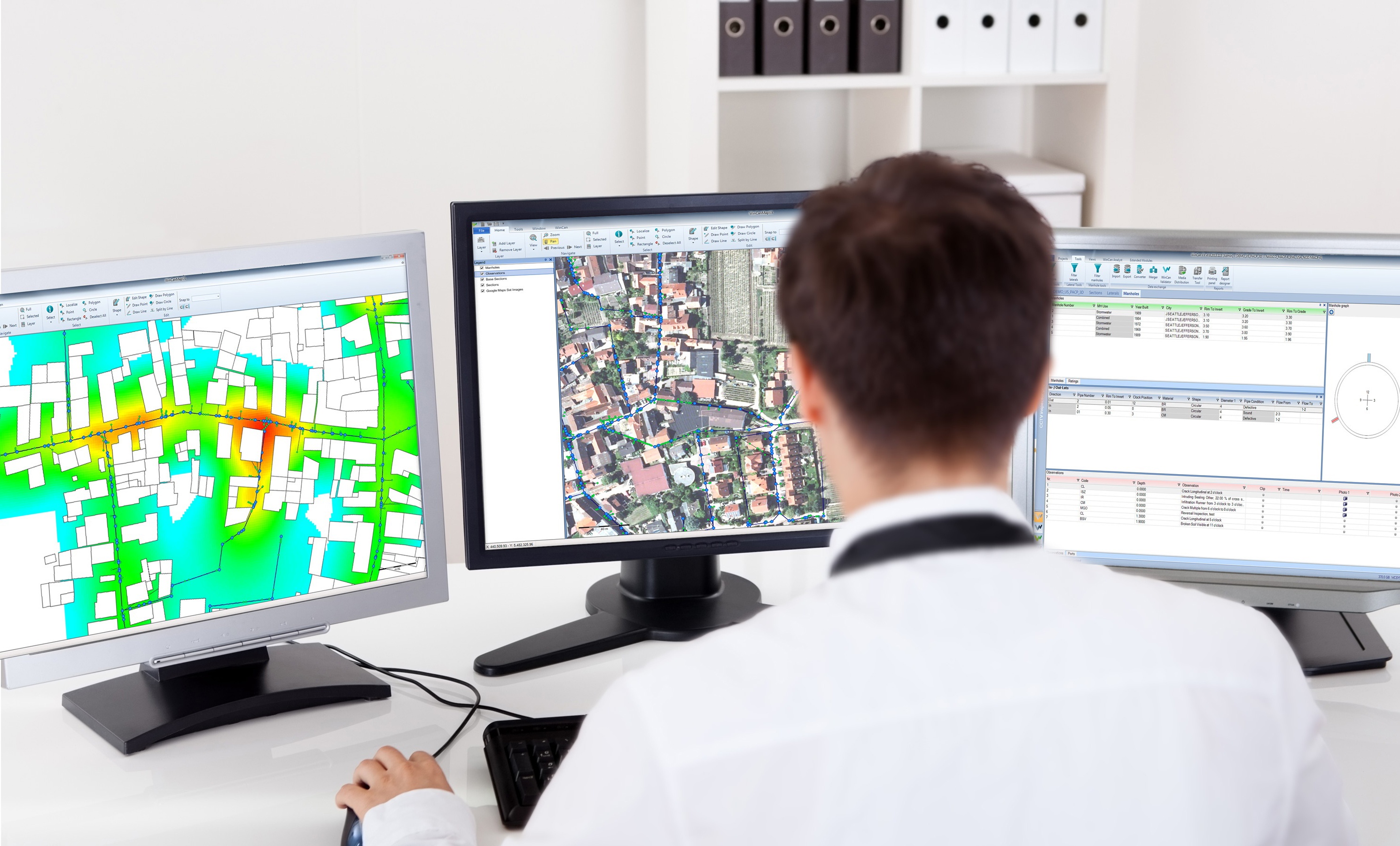
When integrated with Esri’s ArcGIS platform, WinCan VX sewer assessment software allows users to navigate and analyze inspection data using a rich GIS (geographic information system) interface. With it, users can click map features to link to section and defect information, or they can click a tabular record in an inspection to jump immediately to its mapped location. With this bidirectional link between GIS and WinCan, inspections can be pre-populated with data residing in GIS (eliminating manual data entry) and GIS data can be updated with results once an inspection is complete. Beyond simply mapping data, the ArcGIS integration allows users to filter results, create reports, browse media and build heat maps according to defect type or severity. It also assists with workflow by allowing you to select regions, assign them to specific inspection crews and then monitor per-crew progress graphically with color-coded indication.
Planning a sewer rehab project means weighing many factors for each asset: location; defect type, quantity and severity; surface obstructions; pipe material and age; and more. From his early days in the municipal world, WinCan Business Manager Mike Russin recalls using highlighters with maps tacked to the wall. “It used to be a huge hassle,” he says. “We’d watch VHS tapes, find the spot in need of rehab, use different color highlighters to mark what kind of rehab was needed, and then take the map into the engineer's office at the end of the month to get approval. There were so many hoops you had to jump through.”
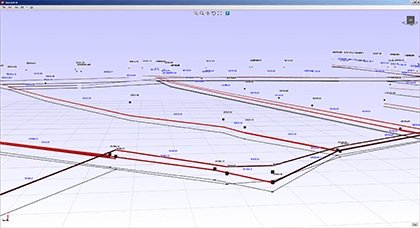
Not only is precise mapping of a municipality’s underground assets important for maintenance and inspection purposes, it can help avoid cross-bores from directional drilling. The challenge is that municipalities can’t count on as-built plans for accurate mapping of underground assets. In the past, municipalities have relied on locators or on digging up pipes to get a visual. Both of these solutions can prove inefficient and sometimes inaccurate. Increasingly, municipalities are deploying geospatial probes, special sensors that are capable of tracking their position in 3D space using a technology called inertial navigation. The data provided by these sensors can be read by WinCan’s 3DGS Scan module to create in real-time a virtual 3D computer model of underground assets.
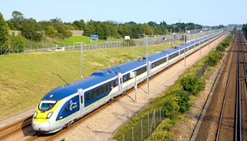
The High Speed 1 (HS1) route formally known as the Channel Tunnel Rail Link (CTRL), is a 109-kilometer (68-mile) high-speed railway between London and the United Kingdom. The HS1 is used for domestic and international train services as well as transporting freight.


