WinCan holds certification for more than 30 regional standards around the globe, helping solidify its world leadership within the sewer asset management industry and demonstrating its commitment to providing high quality software. Most recently, the National Association of Sewer Service Companies (NASSCO) awarded WinCan with certification for Version 7 of the industry-standard Pipeline Assessment Certification Program (PACP).
WinCan
Recent Posts
WinCan Receives PACP 7 Certification
[fa icon="calendar'] Mar 23, 2018 1:52:39 PM / by WinCan
Recap: WWETT Show 2018
[fa icon="calendar'] Mar 2, 2018 6:50:59 PM / by WinCan
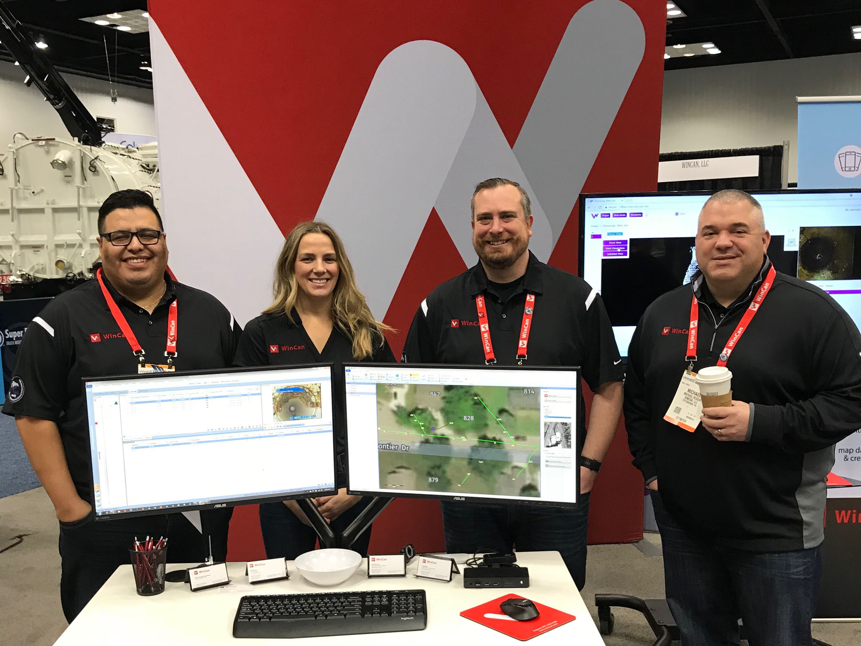
Last week the WinCan team joined thousands of contractors, municipalities and other experts in wastewater management at WWETT, our most important industry event of the year. The WinCan booth was busy throughout the trade show, and we were happy to see so many familiar faces from across the United States and around the world.
Sewer Trivia: PACP Edition
[fa icon="calendar'] Feb 13, 2018 2:14:27 PM / by WinCan
Find WinCan at WWETT 2018, Booth 6132
[fa icon="calendar'] Feb 6, 2018 4:58:46 PM / by WinCan
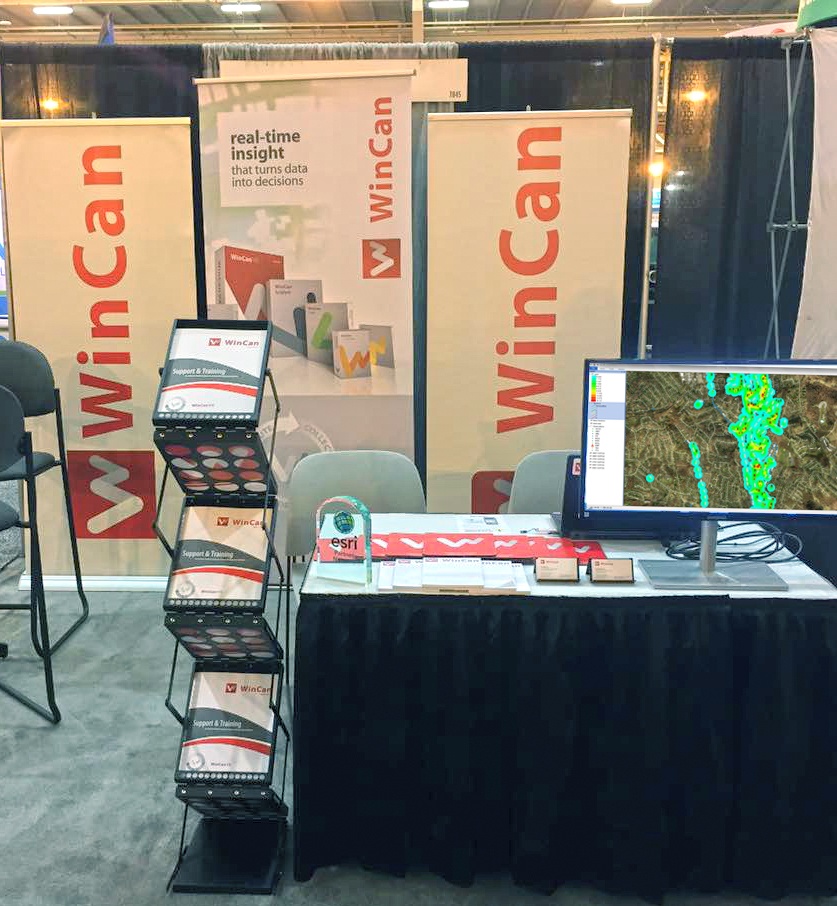
Save the date: WinCan will be at the WWETT Show in Indianapolis, February 22-24, booth 6132. We’ll be showing off the latest additions to our industry-leading sewer inspection reporting and asset management platform, including:
Cape Town in Crisis
[fa icon="calendar'] Jan 23, 2018 8:00:00 AM / by WinCan
Water scarcity is looming over Cape Town, South Africa. A popular tourist destination and home to miles of eye-catching coastlines, this city is in the midst of a water crisis. Day Zero—the day the taps will officially run dry— steadily approaches.
It’s quite conceivable Cape Town will become the first major metropolis in the world to run out of water. The calculations on when the city will be left without water are updated every week, and the date was originally predicted to be April 29, 2018, but in January, Mayor Patricia De Lille was forced to move that date up. Now, the clocks are ticking down, and consumption habits aren’t changing fast enough to stop the impending outage.
WinCan VX Integrates with ESRI ArcGIS
[fa icon="calendar'] Jan 19, 2018 5:56:24 PM / by WinCan
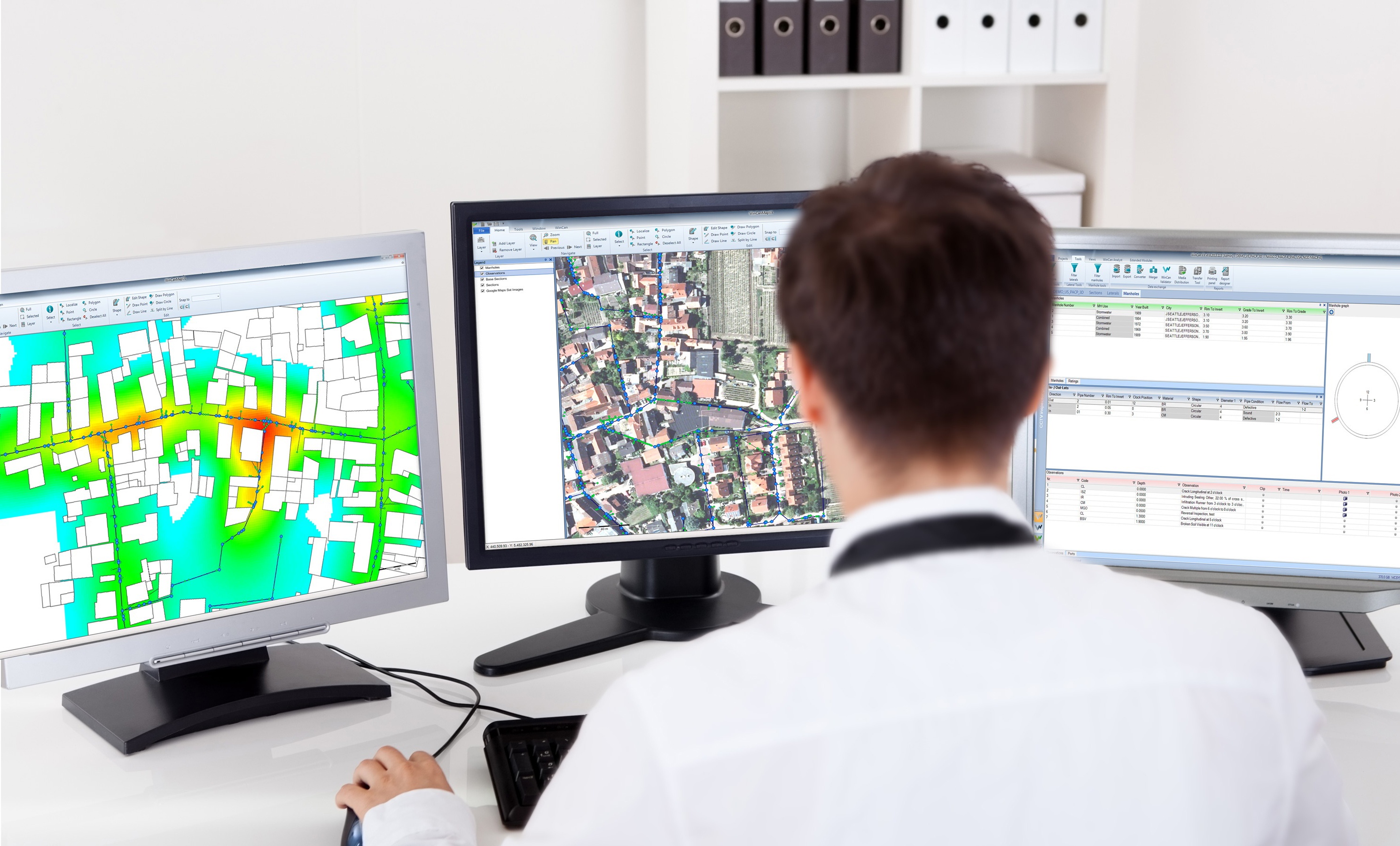
When integrated with Esri’s ArcGIS platform, WinCan VX sewer assessment software allows users to navigate and analyze inspection data using a rich GIS (geographic information system) interface. With it, users can click map features to link to section and defect information, or they can click a tabular record in an inspection to jump immediately to its mapped location. With this bidirectional link between GIS and WinCan, inspections can be pre-populated with data residing in GIS (eliminating manual data entry) and GIS data can be updated with results once an inspection is complete. Beyond simply mapping data, the ArcGIS integration allows users to filter results, create reports, browse media and build heat maps according to defect type or severity. It also assists with workflow by allowing you to select regions, assign them to specific inspection crews and then monitor per-crew progress graphically with color-coded indication.
Plan and Budget Sewer Rehab Projects with WinCan RPM
[fa icon="calendar'] Jan 17, 2018 6:46:35 PM / by WinCan
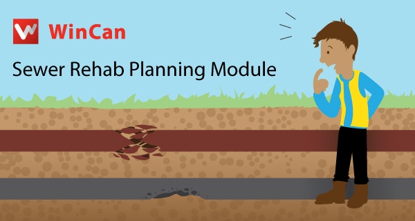
Planning a sewer rehab project means weighing many factors for each asset: location; defect type, quantity and severity; surface obstructions; pipe material and age; and more. From his early days in the municipal world, WinCan Business Manager Mike Russin recalls using highlighters with maps tacked to the wall. “It used to be a huge hassle,” he says. “We’d watch VHS tapes, find the spot in need of rehab, use different color highlighters to mark what kind of rehab was needed, and then take the map into the engineer's office at the end of the month to get approval. There were so many hoops you had to jump through.”
Sizing Up London's 130-Ton Fatberg
[fa icon="calendar'] Oct 16, 2017 7:01:05 PM / by WinCan
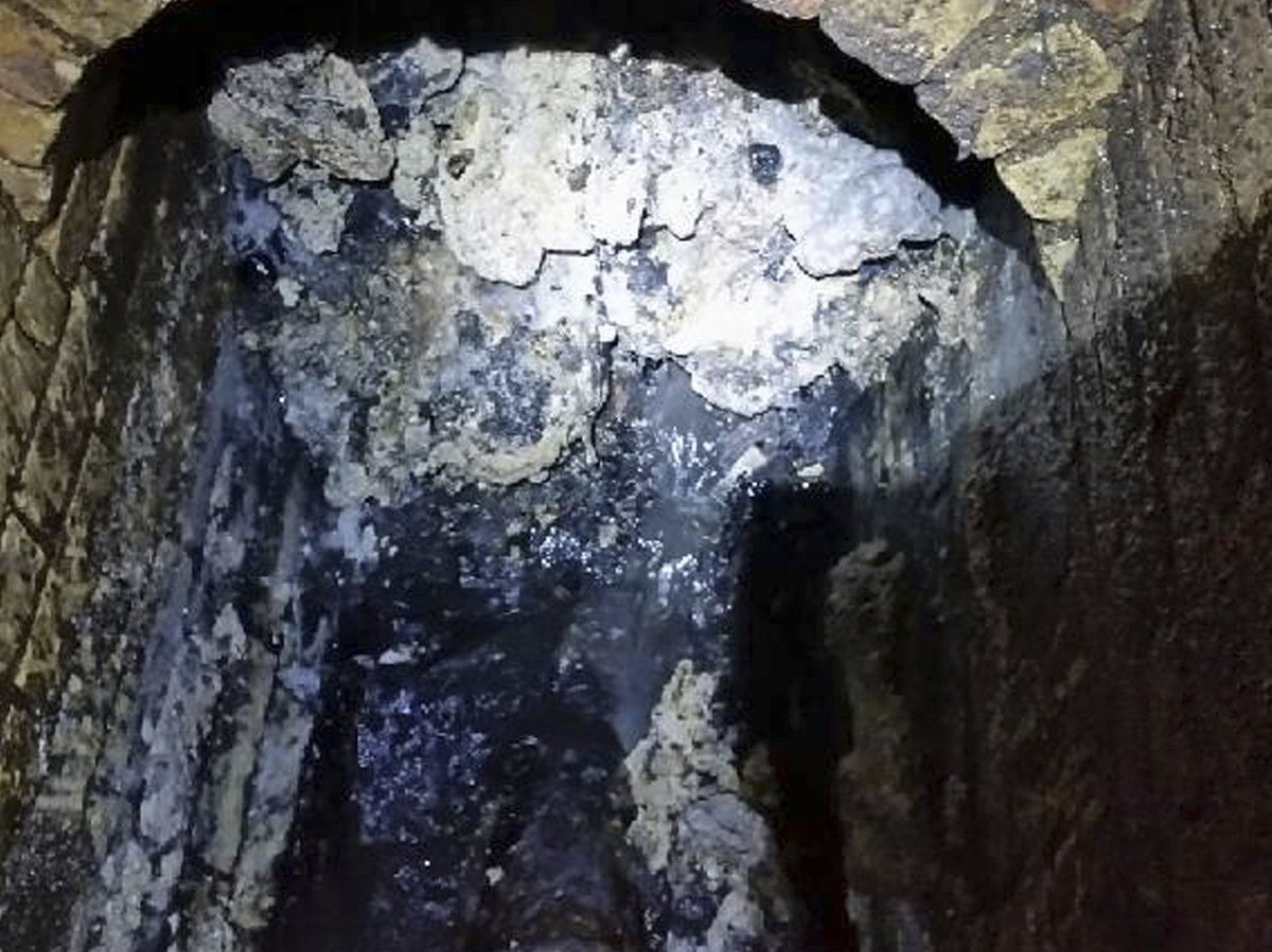
What is longer than two soccer fields and weighs more than 19 African elephants? A fatberg that was recently found in east London, that’s what. The fatberg, coined ‘total monster’ by The Guardian, weighs 130 tons and is 820 feet (250 meters) long. Thames Water and Lanes Group, WinCan Web sewer asset management software users, found this massive deposit of fats, oils, grease, wipes and other household waste during a routine inspection in Whitechapel, in London’s East End. Sources say it will take sewer workers three weeks to break up the fatberg and restore the sewer pipe. Once broken up, the waste will be sucked up and taken for disposal at a local recycling plant.
Understand Sewer Condition Better with Cloud-based Sewer Inspection
[fa icon="calendar'] May 23, 2017 2:53:29 PM / by WinCan
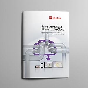
As cloud-based storage becomes more popular, municipalities, utilities and contractors must consider the benefits cloud-based solutions provide, particularly for sewer inspection data management.
Making Cross Bore Inspections Standardized, Accessible and Mappable.
[fa icon="calendar'] May 15, 2017 2:18:45 PM / by WinCan
A cross bore occurs when one underground utility line intersects another. Cross bores are particularly dangerous when a gas line intersects a sewer line. This happens during horizontal directional drilling (HDD), a technique for installing a gas line using a remotely piloted drill head. During HDD, installers must rely on city asset maps to avoid existing sewer pipes. Erroneous or incomplete map data can create the potential for a cross bore. When a cross bore occurs, the intersecting gas line can snag debris in sewer effluent, causing a clog. If that clog is forcibly cleared, the gas line may rupture and leak into adjoining buildings, where it presents a serious potential for explosion.


