In the wastewater industry, things are always changing. Populations shift, new environmental regulations pass, and daily use takes its toll. System operators and contractors need technology that can scale to meet their changing needs — including asset management and inspection software.
Ensuring Your Software Grows with Your Organization
[fa icon="calendar'] Nov 11, 2019 4:09:07 PM / by WinCan
Protecting Your Assets from Summer Storms: The Value of a Flood Plan
[fa icon="calendar'] Jun 11, 2019 1:02:12 PM / by WinCan
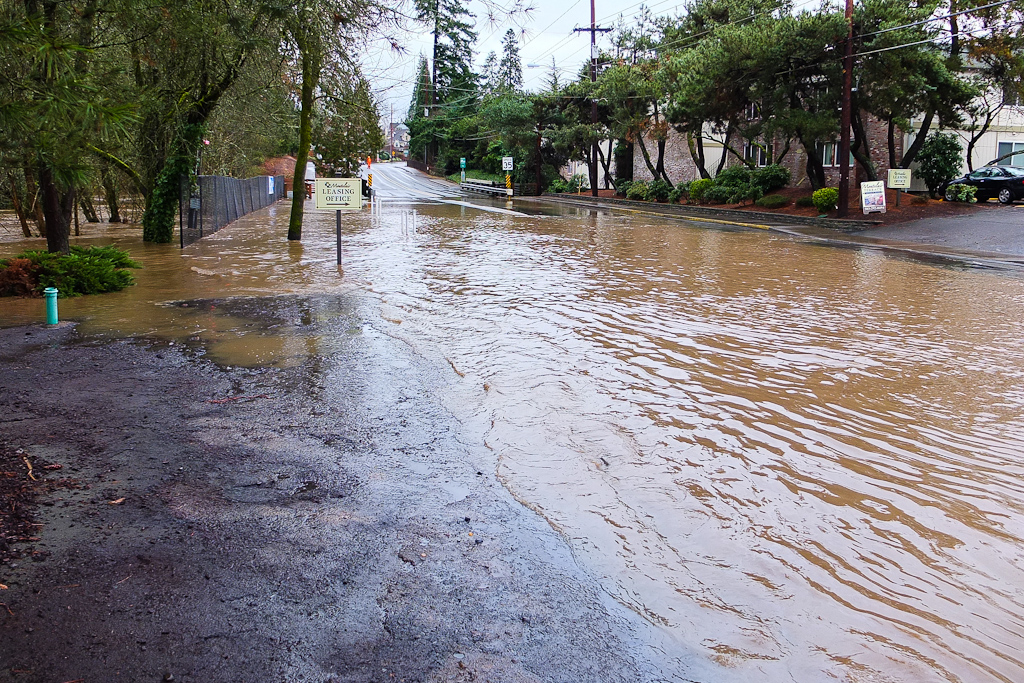
As the United States moves into the summer months, the nation moves from one flood season to another. Currently, St. Louis, Mo. and other midwestern communities are grappling with flooding brought on by higher than expected rainfall flowing into the Missouri and Mississippi rivers. As the summer continues, much of the Midwest and Southwestern United States will face high water events. Though occasional overflows are a natural part of living in a floodplain, major floods can bring a host of problems to an area, including damaged infrastructure and residences, hazardous waste leakage, and increased mosquito populations.
How to Prepare for the Retirement of Key Employees
[fa icon="calendar'] May 30, 2019 11:49:37 AM / by WinCan
The departure of long-time employees can be a concern for companies and municipalities and lead to questions of how they will effectively replace such valuable workers and their wealth of knowledge and experience.
2019 WWETT Show Recap
[fa icon="calendar'] Mar 4, 2019 2:36:51 PM / by WinCan
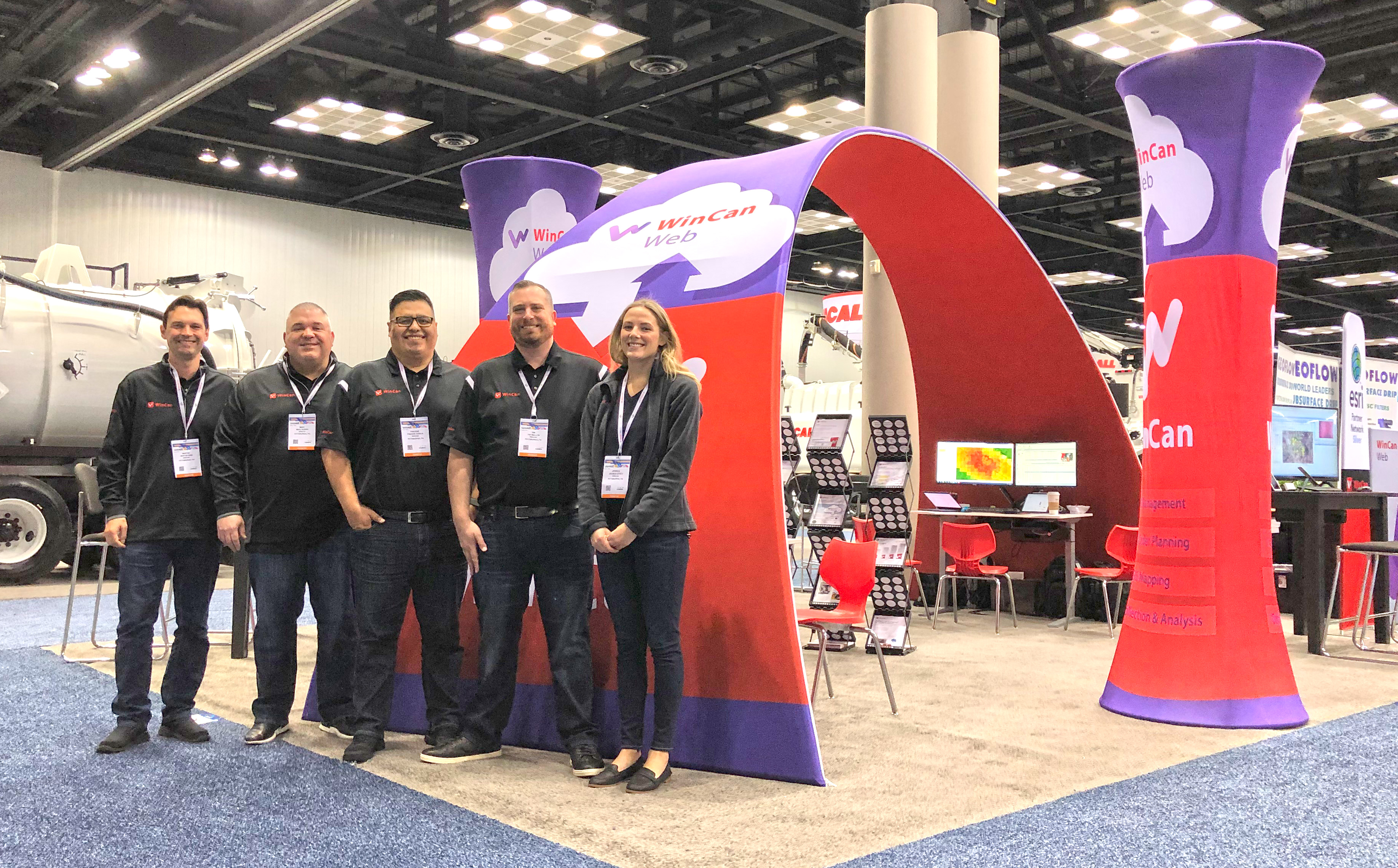
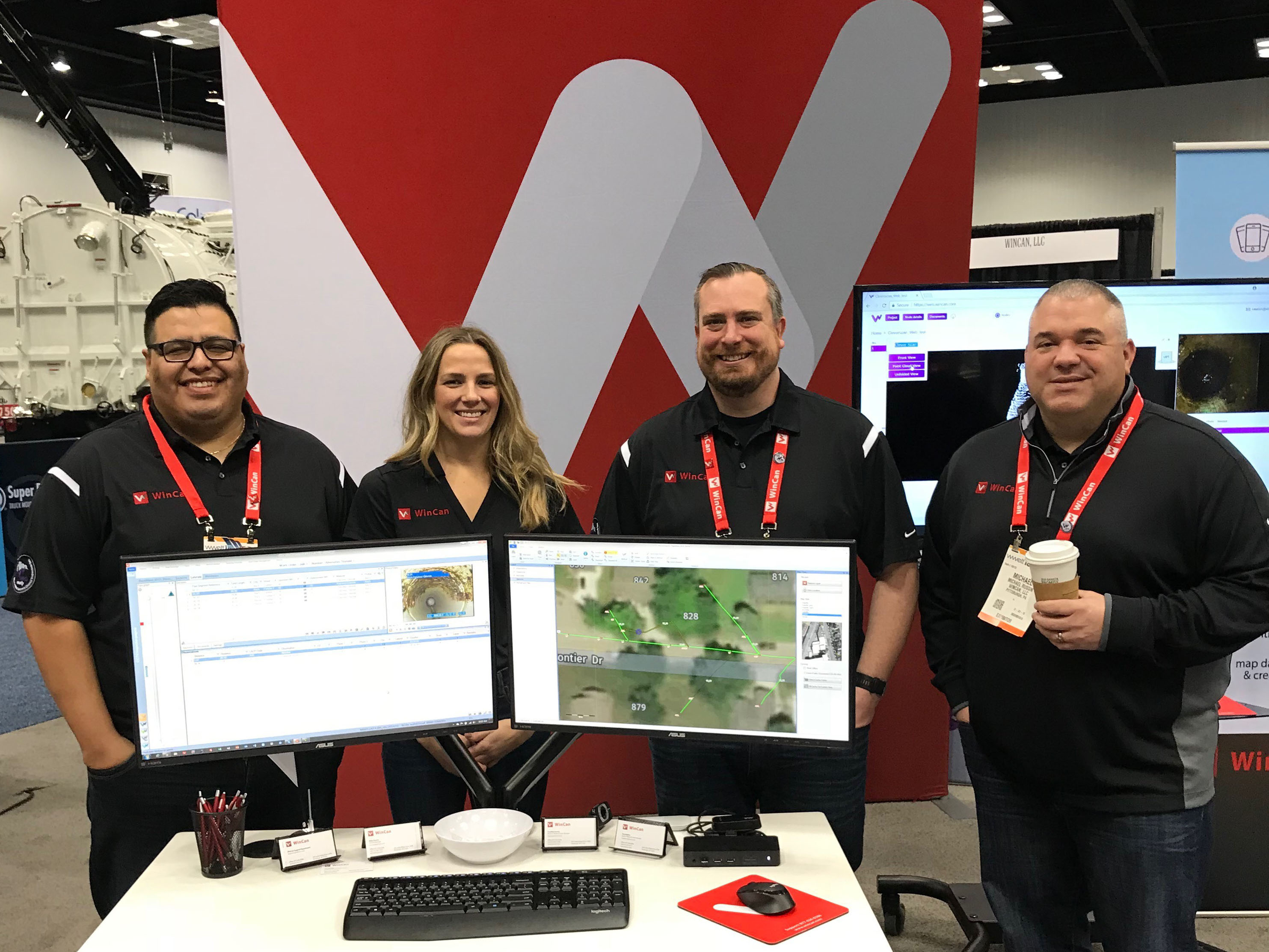
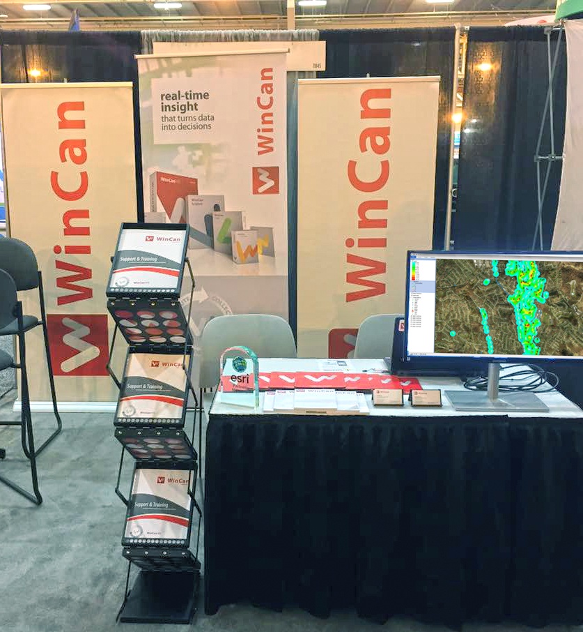
Find WinCan at WWETT 2019 in Booth 4142
[fa icon="calendar'] Feb 5, 2019 8:51:00 AM / by WinCan
Save the date: WinCan will be exhibiting in booth 4142 at the WWETT Show in Indianapolis, February 21-23. Stop by to see the latest additions to the industry-leading sewer inspection reporting and asset management platform, including:
Big Bear, Calif., Sewer District Brings Big Ideas to a Small Community
[fa icon="calendar'] Oct 2, 2018 8:21:00 AM / by WinCan
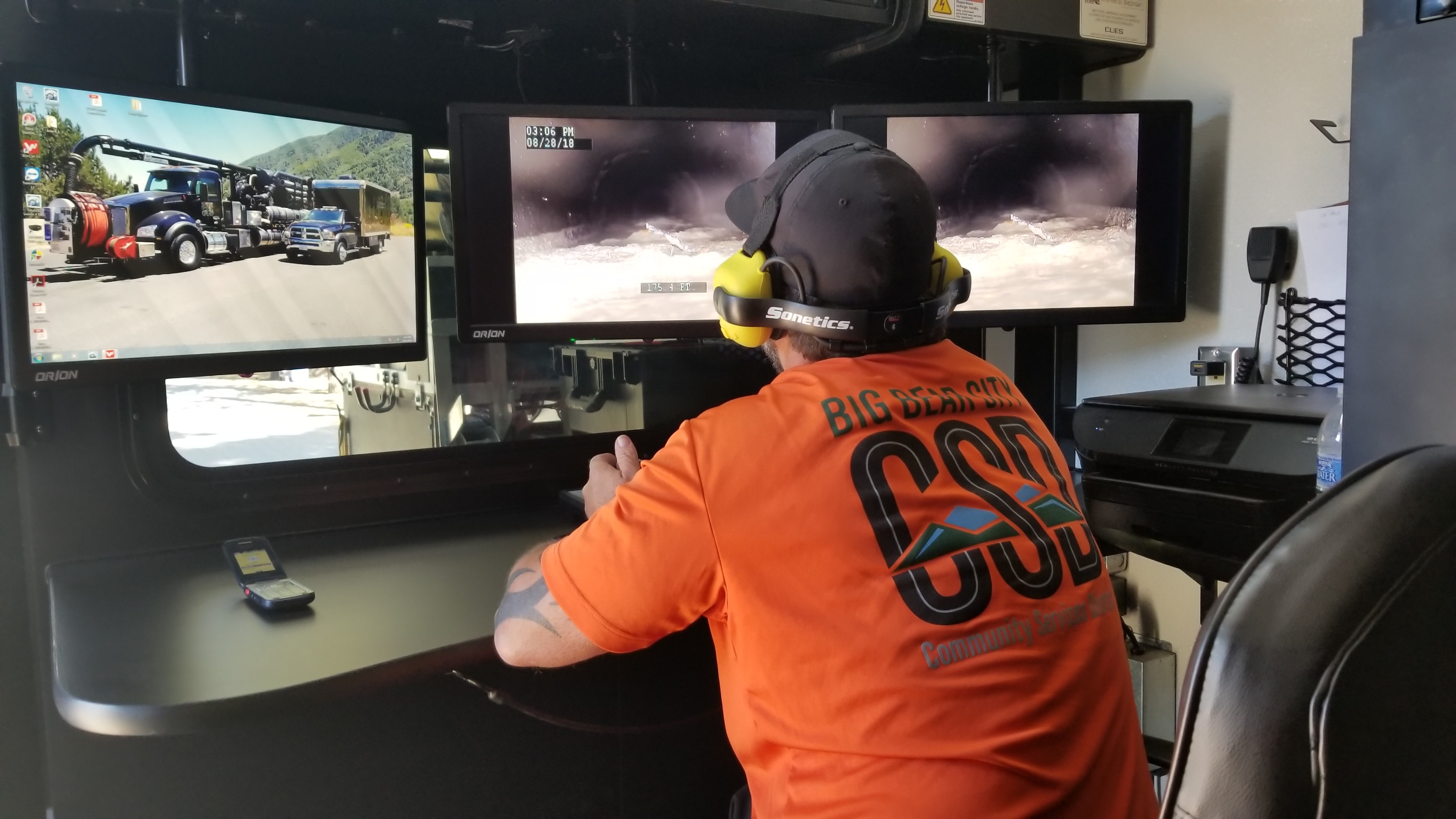
Every wastewater system is unique: Age, geography, pipe materials, rehab methods, and climate all shape infrastructure over time. But even in the diverse landscape of American utilities, some systems stand out.
Event Rundown: IFAT 2018
[fa icon="calendar'] May 22, 2018 4:43:34 PM / by WinCan
Every two years, IFAT—the world’s largest trade show for water, sewer and waste—descends on Munich, Germany for five days. The show draws more than 141,000 attendees and 3,300 exhibitors from 58 countries. This year, WinCan moved to Hall C3, where it exhibited prominently among manufacturers dedicated to the construction, maintenance and rehabilitation of water supply and sewerage systems. WinCan’s latest products and features were highlighted at this year’s event.
Find WinCan at WWETT 2018, Booth 6132
[fa icon="calendar'] Feb 6, 2018 4:58:46 PM / by WinCan
Save the date: WinCan will be at the WWETT Show in Indianapolis, February 22-24, booth 6132. We’ll be showing off the latest additions to our industry-leading sewer inspection reporting and asset management platform, including:
Sizing Up London's 130-Ton Fatberg
[fa icon="calendar'] Oct 16, 2017 7:01:05 PM / by WinCan
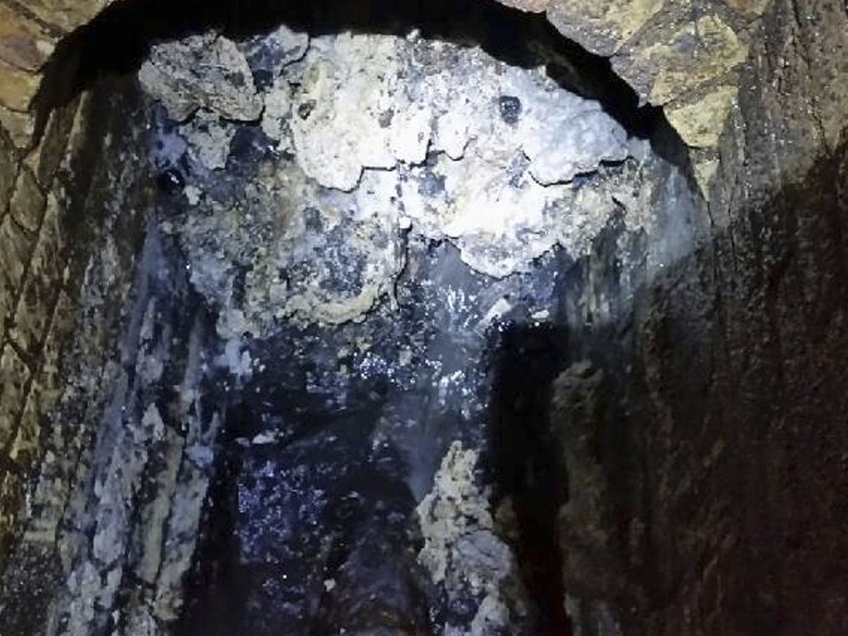
What is longer than two soccer fields and weighs more than 19 African elephants? A fatberg that was recently found in east London, that’s what. The fatberg, coined ‘total monster’ by The Guardian, weighs 130 tons and is 820 feet (250 meters) long. Thames Water and Lanes Group, WinCan Web sewer asset management software users, found this massive deposit of fats, oils, grease, wipes and other household waste during a routine inspection in Whitechapel, in London’s East End. Sources say it will take sewer workers three weeks to break up the fatberg and restore the sewer pipe. Once broken up, the waste will be sucked up and taken for disposal at a local recycling plant.
Understand Sewer Condition Better with Cloud-based Sewer Inspection
[fa icon="calendar'] May 23, 2017 2:53:29 PM / by WinCan
As cloud-based storage becomes more popular, municipalities, utilities and contractors must consider the benefits cloud-based solutions provide, particularly for sewer inspection data management.


