Sewer Basics: Disaster Preparedness and Wastewater Emergency Response

[fa icon="calendar'] Mar 10, 2022 3:19:03 PM / by WinCan

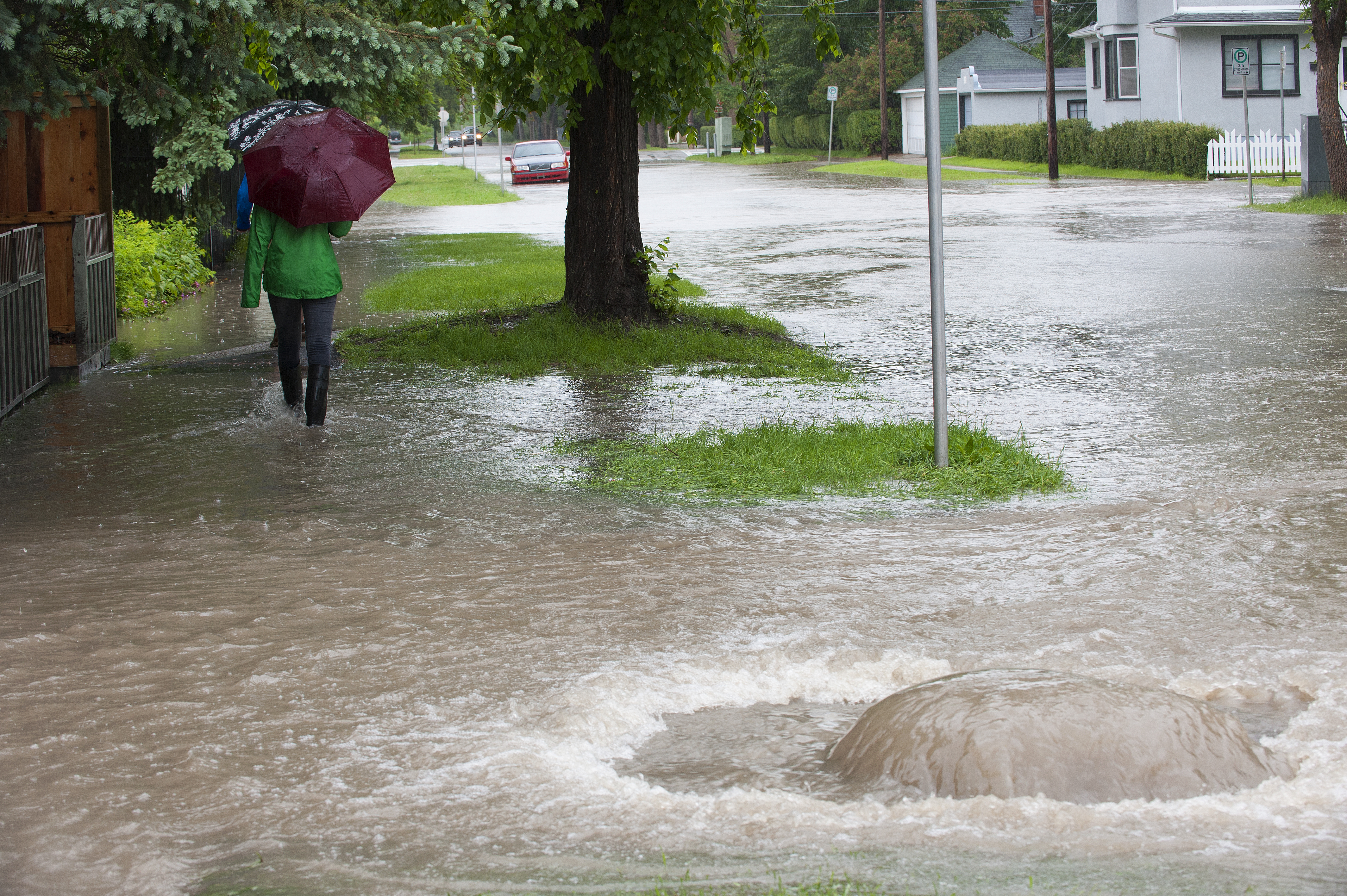
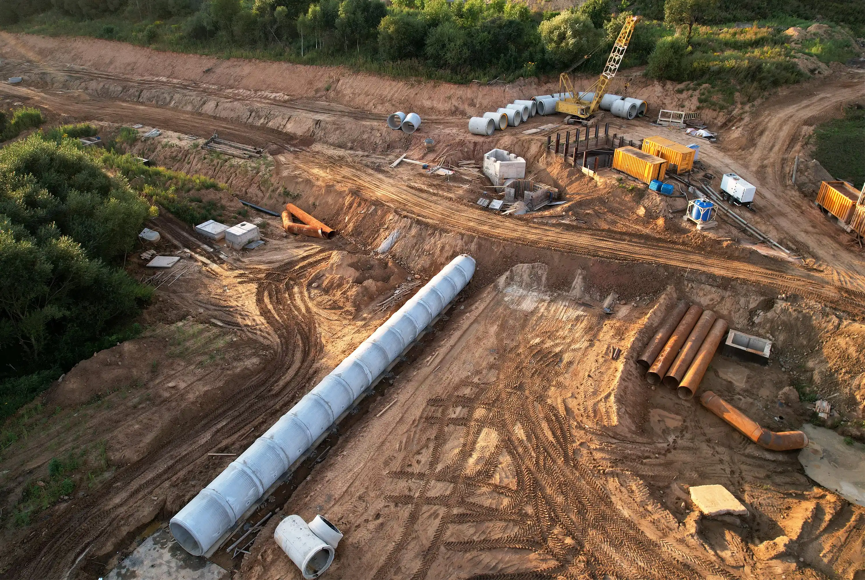
When disaster strikes a municipality, it can destroy decades of work on infrastructure and place communities at continued risk for years to come. With the increase in extreme weather events, municipalities need an all-encompassing emergency response plan. Environmental crises can quickly destroy a wastewater system’s integrity, resulting in dangerous conditions for surrounding roadways and homes. This also leads to costly repairs that disrupt annual maintenance requirements and inspection timelines, creating a rippling effect that can disrupt a community for years.

Read More [fa icon="long-arrow-right"]

How to Shop for Sewer Inspection AI

[fa icon="calendar'] Feb 14, 2022 1:36:04 PM / by WinCan

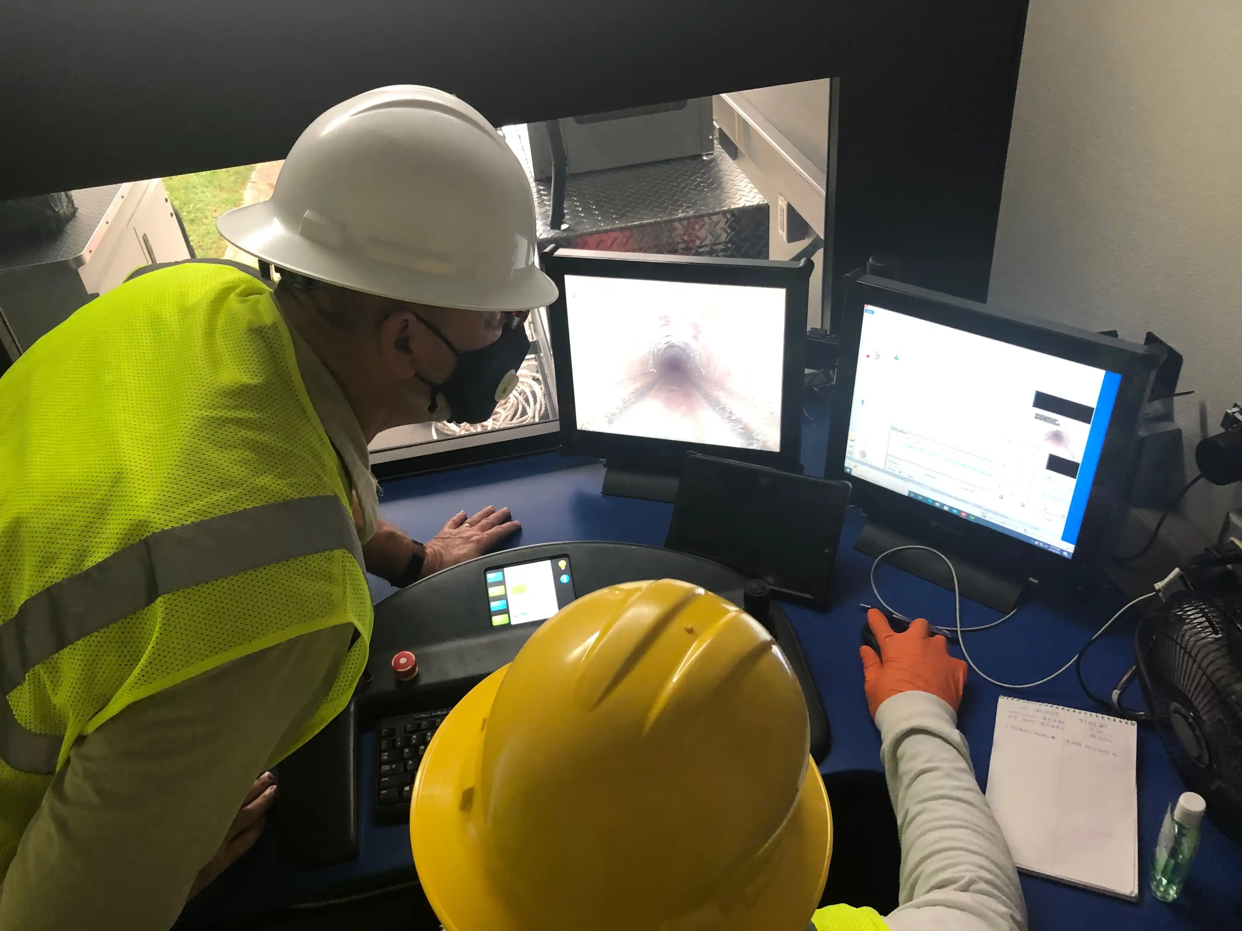
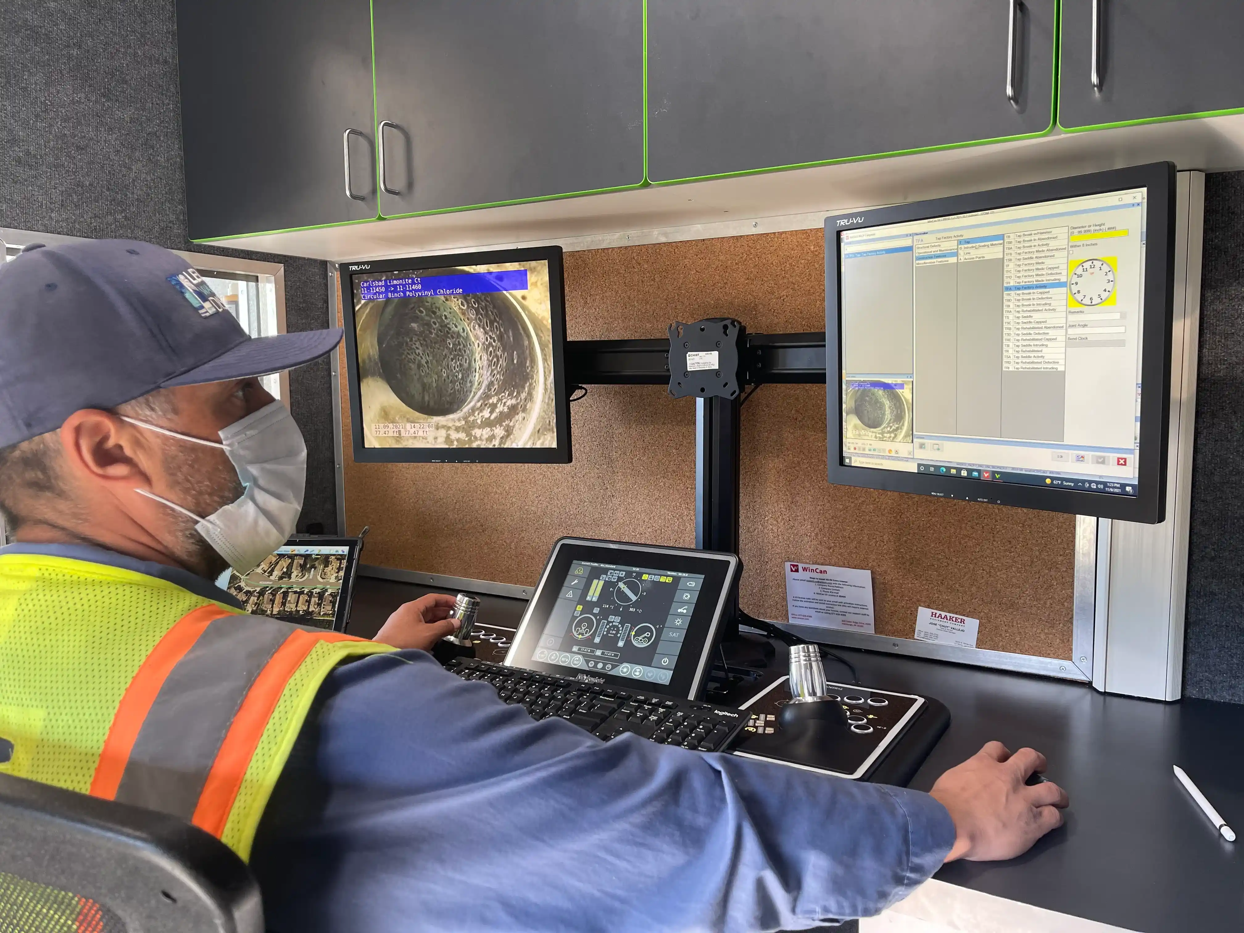
Artificial intelligence, or AI, has entered the sewer market in a big way. Not only is it expediting sewer inspection workflows, it’s providing an avenue for data to be organized, analyzed and updated automatically. The rippling effects of AI-powered defect coding alone are quickly changing the way municipalities approach sewer maintenance and asset management. And with ROI often top of mind for most municipal sewer teams, WinCan’s Sewermatics is already delivering positive results for AI defect coding projects.

Read More [fa icon="long-arrow-right"]

The Shifting Wastewater Industry: From Cloud-Based Workflows to Resilient Infrastructure

[fa icon="calendar'] Feb 4, 2022 1:40:47 PM / by WinCan

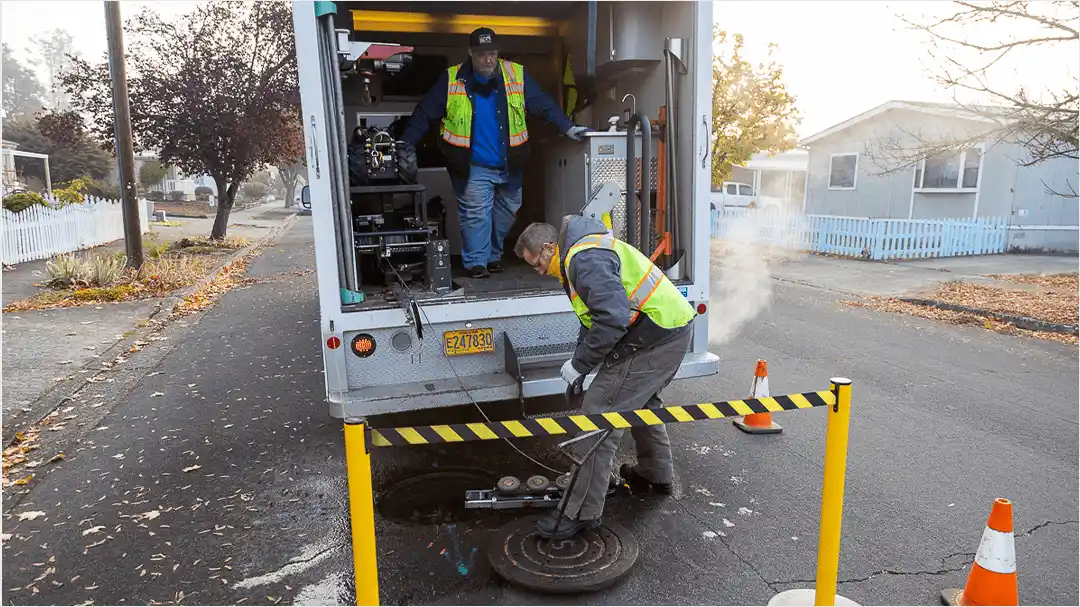
The wastewater industry is seeing shifts in core workflows, creating trends toward more efficient tech and more resilient infrastructure. In particular, use of artificial intelligence (AI) will continue to spread as municipalities migrate toward predominantly cloud-based workflows. But beyond technology, the United States is putting renewed effort into rehabilitating infrastructure, with more cities investing in sustainable, resilient sewer systems with the ability to adapt in the face of extreme weather.

Read More [fa icon="long-arrow-right"]

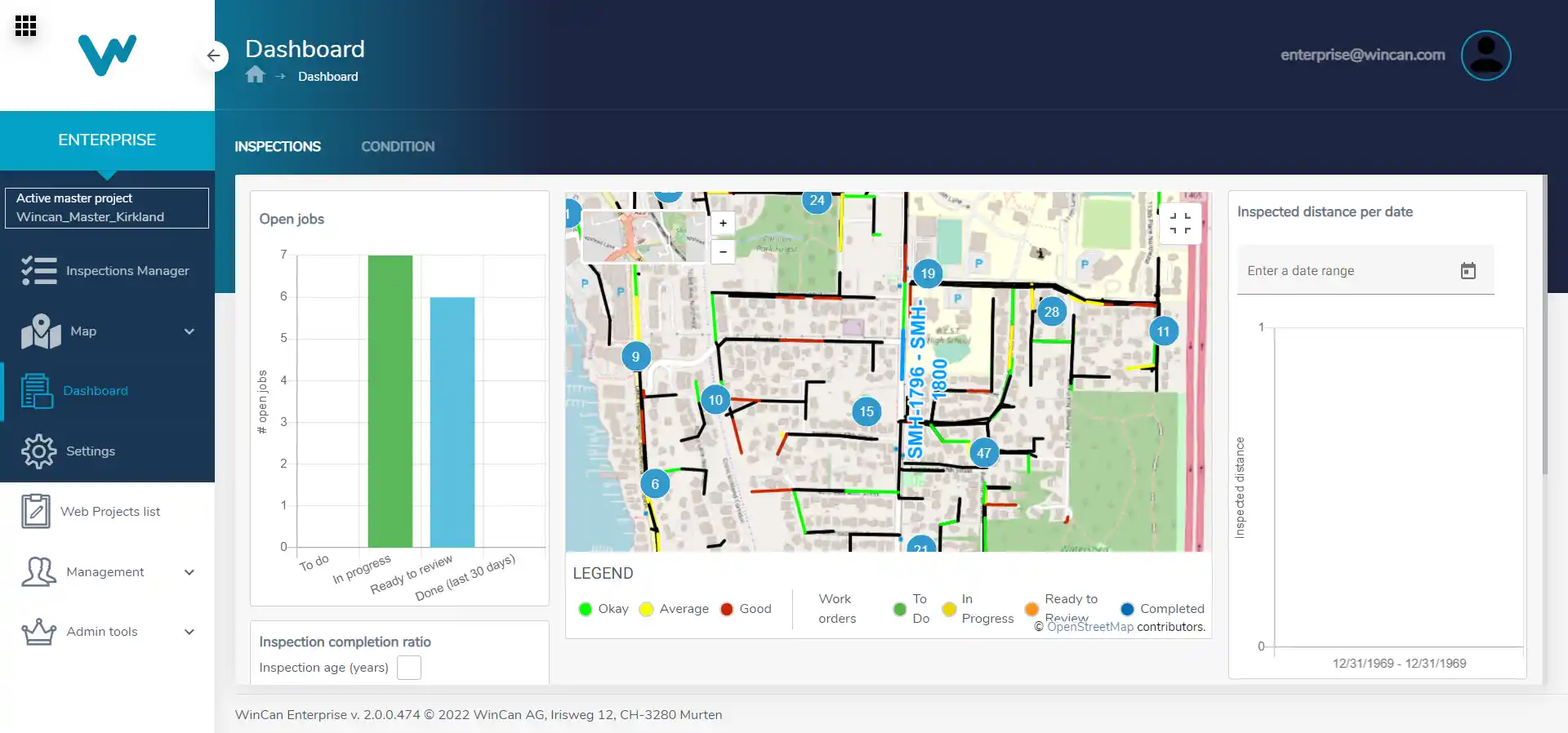
Conducting GIS Queries in WinCan VX

[fa icon="calendar'] Jan 27, 2022 6:07:02 PM / by WinCan

GIS queries allow sewer inspection teams to quickly review specific data and better understand the location and condition of a pipe section or sewer system. They are user-initiated requests to translate data points into actionable information. 

Read More [fa icon="long-arrow-right"]

Integrated Technology Helps Identify FOG Buildup Before It's a Problem

[fa icon="calendar'] Jan 17, 2022 1:38:45 PM / by WinCan

Located at the confluence of three watersheds and surrounded by two salmon-bearing rivers, Springfield, Oregon, promotes good wastewater practices. The city has an initiative that addresses the fact that fats, oils, and grease (FOG) have no place in the sewers. This is one of many efforts the city has in place to keep its wastewater system clean and operating smoothly. With the help of WinCan VX integrated with Esri's ArcGIS Online, the city is enhancing efforts to ensure that main lines are healthy and wastewater is flowing properly.

With 225 miles of wastewater lines, varying from 6" to 60" in diameter, Springfield's wastewater inspection team needs technical solutions that encompass both maintenance and mapping. Chris Zeitner, Springfield's geographic information system (GIS) database administrator, says WinCan and Esri technologies have the integrated functionality needed to automate workflows between inspection and analysis, and to streamline the decision-support process.

Read More [fa icon="long-arrow-right"]

2021: A WinCan Year in Review

[fa icon="calendar'] Dec 27, 2021 9:00:00 AM / by WinCan

WinCan has continued its innovative approach to sewer inspection by releasing new products and services this year. From powerful AI defect coding to entirely cloud-based inspection workflows, 2021 has been a full year for the development team at WinCan, and we are looking forward to an even better year in 2022.

Read More [fa icon="long-arrow-right"]

Sewer Basics: What is PACP?

[fa icon="calendar'] Dec 21, 2021 3:36:01 PM / by WinCan

Pipeline Assessment Certification Program (PACP) is a standardized system for coding sewer pipe inspection footage. At its core, PACP functions as a consistent language for wastewater professionals to use across all assessment activities, and it ensures that maintenance and management are completed quickly and properly. 

Read More [fa icon="long-arrow-right"]

How AI Helps Prepare Sewers for Severe Weather

[fa icon="calendar'] Dec 2, 2021 4:29:52 PM / by WinCan

As extreme weather events increase around the globe, cities are looking to create more resilient infrastructure to withstand and protect against floods, hurricanes, wildfires and other high-risk events. In addition to climate change, many municipalities already face I&I challenges, and aging infrastructure puts strain on local wastewater teams. When operators can’t keep up with routine maintenance and inspection, collection systems are at a higher risk of failure, and they stand little chance against significant weather events.

Read More [fa icon="long-arrow-right"]

Uni-Jet Designs Unique Workflow to Take on Cold Weather Inspections

[fa icon="calendar'] Nov 22, 2021 12:27:12 PM / by WinCan

From November through April, much of Canada experiences freezing temperatures. During that time, lows frequently reach subzero temperatures. Uni-Jet Industrial Pipe Service Ltd conducts cleaning and inspections for 6" to more than 10' pipes. Much of this work is done in Winnipeg, but they service a territory ranging from Nova Scotia to the Northern Rockies of British Columbia, meaning inspection teams need to be ready for anything. With over 40 years in operation, its crews have learned to navigate wet and icy conditions. And with WinCan VX to support their field work, they’ve developed a workflow designed to keep teams inspecting lines all year-round, in spite of the weather. 

Read More [fa icon="long-arrow-right"]

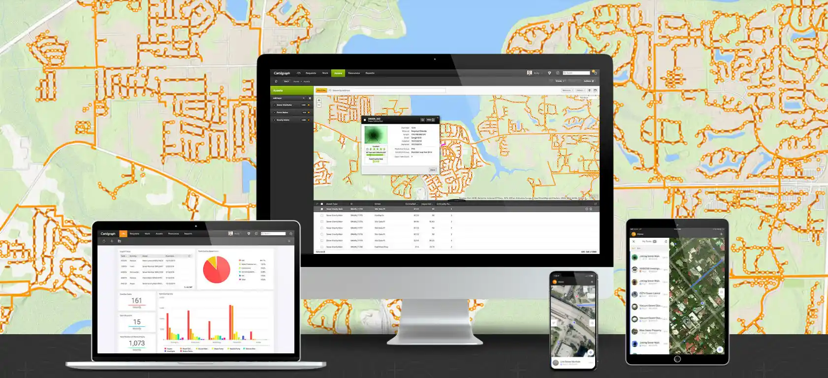
Sewer Basics: What is GIS (Day)?

[fa icon="calendar'] Nov 16, 2021 5:29:48 PM / by WinCan

Geospatial Information Systems (GIS) are computer systems that collect, store, manage and analyze data relevant to precise locations on Earth. They are the backbone of humankind’s most powerful mapping solutions, and they allow us to gather accurate information about the location of infrastructure in real-time. 

Read More [fa icon="long-arrow-right"]

Subscribe Here!

By clicking "Subscribe," I agree to receive marketing communications from WinCan. Privacy & Terms.

Recent Posts