Located at the confluence of three watersheds and surrounded by two salmon-bearing rivers, Springfield, Oregon, promotes good wastewater practices. The city has an initiative that addresses the fact that fats, oils, and grease (FOG) have no place in the sewers. This is one of many efforts the city has in place to keep its wastewater system clean and operating smoothly. With the help of WinCan VX integrated with Esri's ArcGIS Online, the city is enhancing efforts to ensure that main lines are healthy and wastewater is flowing properly.
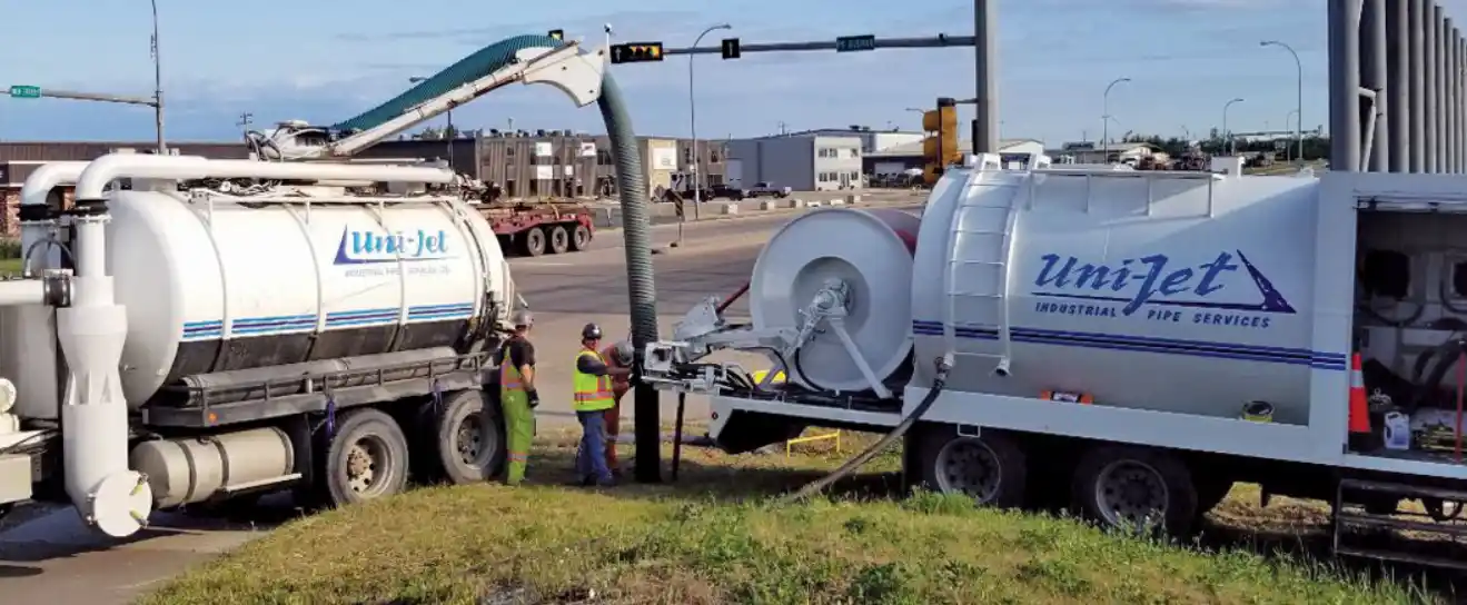
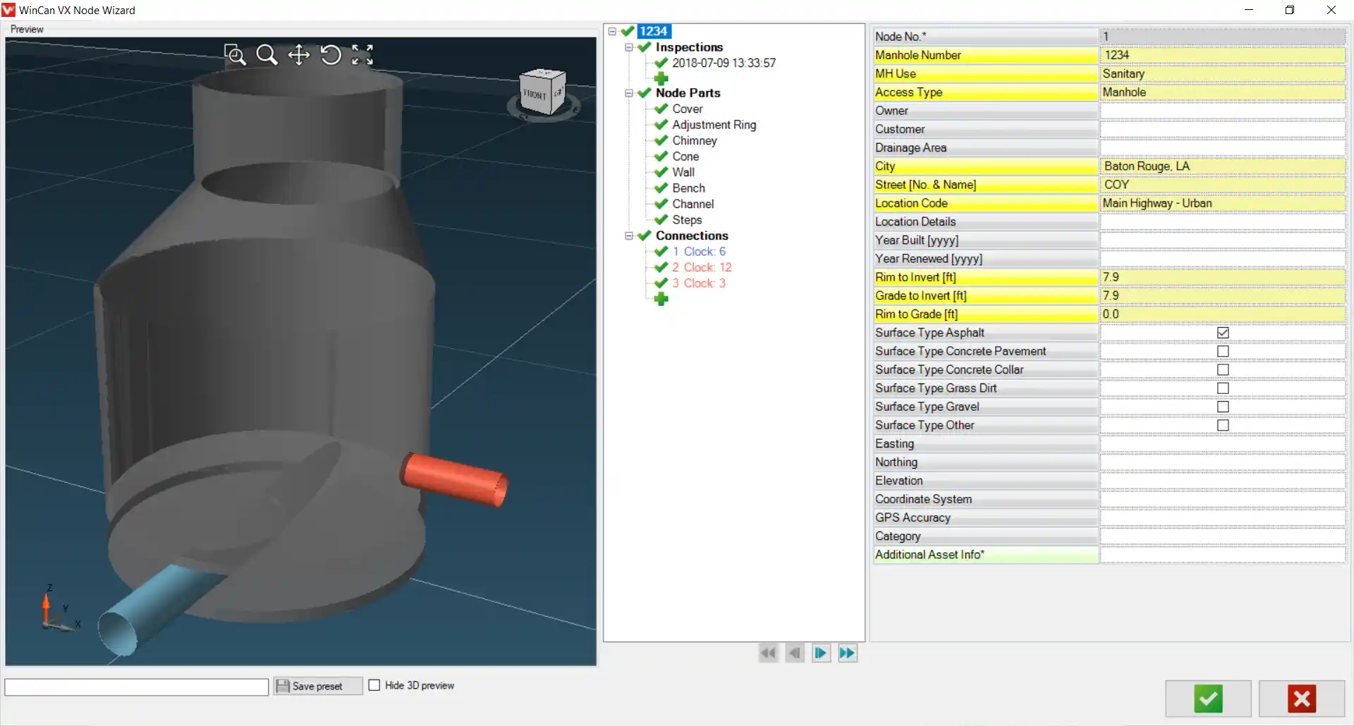
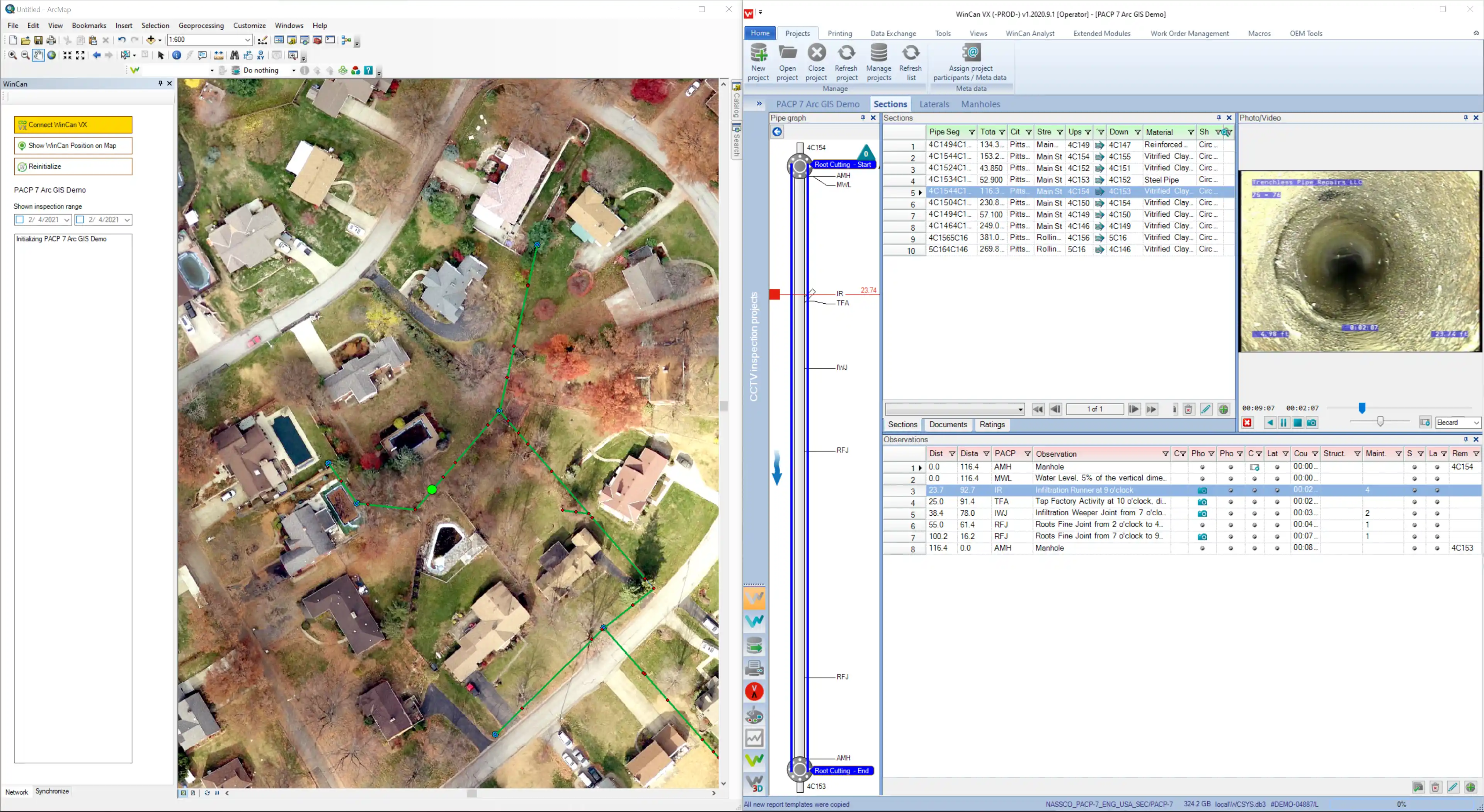
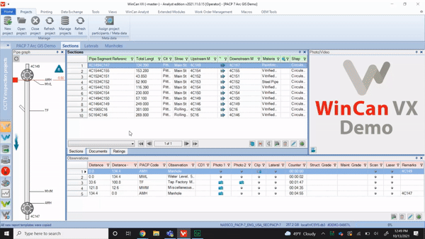
With 225 miles of wastewater lines, varying from 6" to 60" in diameter, Springfield's wastewater inspection team needs technical solutions that encompass both maintenance and mapping. Chris Zeitner, Springfield's geographic information system (GIS) database administrator, says WinCan and Esri technologies have the integrated functionality needed to automate workflows between inspection and analysis, and to streamline the decision-support process.